CLICK ON IMAGES TO ENLARGE. REPEAT IF REQUIRED
Jackie spent much of the day cooking for tomorrow’s guests. I finished the hoovering and did a bit of tidying up. I then paid attention to the rest of the May 2004 colour slides from the Streets of London series, scanned yesterday.
Continuing yesterday’s walk along Kilburn High Road, a bit further North of The Old Bell is the short
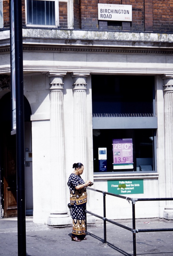
Birchington Road NW6, which has a bank on one corner
and fairly large residential houses bearing the tell-tale sign of multi-occupancy on the entry-buzzers. I am not sure which national dress is being sported by the elegant woman in the first picture.
Next on the right is Quex Road, where preparation in the greetings card shop was under way for Father’s Day in June.
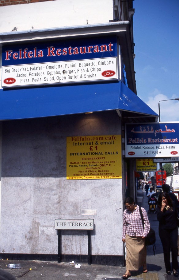
A short distance further, and The Terrace is on the left. This Felfala Restaurant is apparently no longer in operation, although there are a number of others listed nationwide. I’m surprised I didn’t go back and try it when I had the chance.
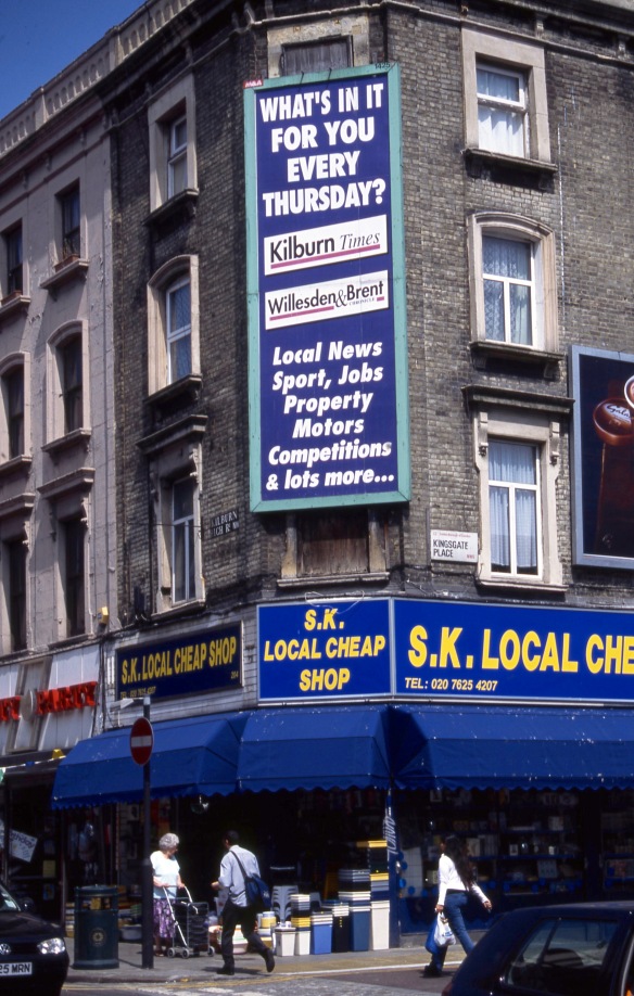
Almost opposite on the right is Kingsgate Place. No self-respecting high street in the less salubrious areas of our cities is without its ‘Pound Shop’ or equivalent.
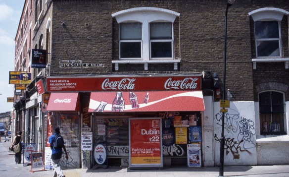
The short Kingsgate Place runs into the more major Kingsgate Road. There is something rather poignant about RAKS NEWS AND RELIGIOUS GOODS bearing a placard from the Kilburn Times proclaiming ‘I was seduced by jailed pastor’. The Aerlingus advertisement is an indication that many Irish people live in Kilburn; encouragements to play the lottery and invest in Vernon’s Pools suggest a certain amount of need for some easy money; and the area is one ripe for graffiti.
Kilburn has quite a history, based on Kilburn Priory, “a small monastic community[1] of nuns established around 1130–1134 three miles north-west of the medieval City of London, where Watling Street (now Kilburn High Road) met the stream now known as the Westbourne, but variously known as Cuneburna, Keneburna, Keeleburne, Coldburne, or Caleburn, meaning either the royal or cow’s stream.[2] The priory gave its name to the area now known as Kilburn, and the local streets Priory Road, Kilburn Priory and Abbey Road.” (Wikipedia)
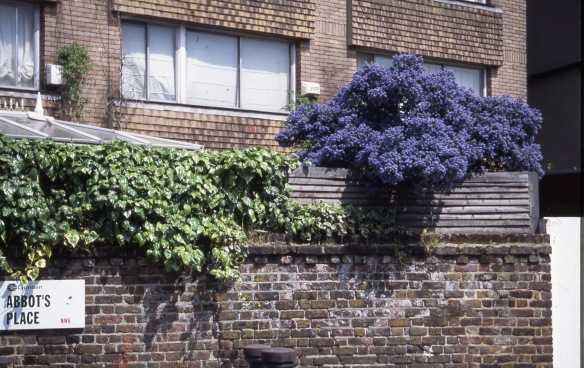
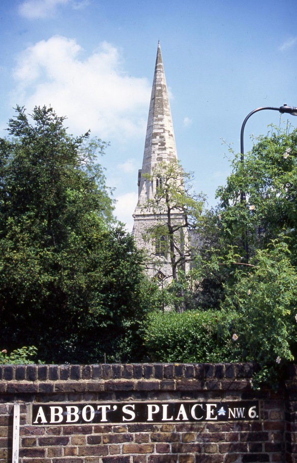
Presumably Abbot’s Place has the same origin.
“The site was used until 1130 as a hermitage by Godwyn, a recluse, who subsequently gave the property to the conventual church of St. Peter, Westminster. The priory was established with the consent of Gilbert Universalis, bishop of London, before his death in August 1134. Though it was originally subordinate to Westminster Abbey, whose monks followed the Benedictine rule, by 1377 it was described as being an order of Augustinian canonesses. It was once believed that the Ancrene Riwle was written for the first three nuns of Kilburn, but this is now thought unlikely.
Agnes Strickland states that the priory was established in 1128 for the three pious and charitable ladies-in-waiting of Queen Matilda of Scotland, consort of Henry I, named Emma, Gunilda, and Cristina.
After the death of the queen [in 1118] these ladies retired to the hermitage of Kilburn near London, where there was a holy well, or medicinal spring. This was changed to a priory in 1128, as the deed says, for the reception of these . . . damsels who had belonged to the chamber of Matilda.[5]
Kilburn Priory was dissolved by Henry VIII in 1537 and its site in Kilburn was given to the Knights of St. John in exchange for other property, and then seized back by the crown in 1540.” (Wikipedia)
There is something sweet about Islamic Centre England being housed in Kilburn Priory, (Actually 140 Maida Vale) in the midst of such a multi-ethnic area.
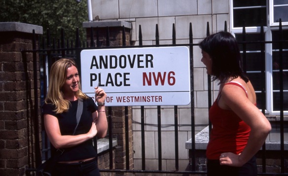
Parallel with Maida Vale, on my return to Warwick Crescent, I walked along Andover Place. These two young women were happy to appear in my project. I swear I didn’t arrange the pose.
Back in W9, work was being completed on a development in Elgin Mews North.
This evening we dined on Jackie’s excellent heart casserole, carrots, runner beans, and new potatoes. This was followed by strawberries and cream. Well, we had been watching the Wimbledon tennis on T.V.
