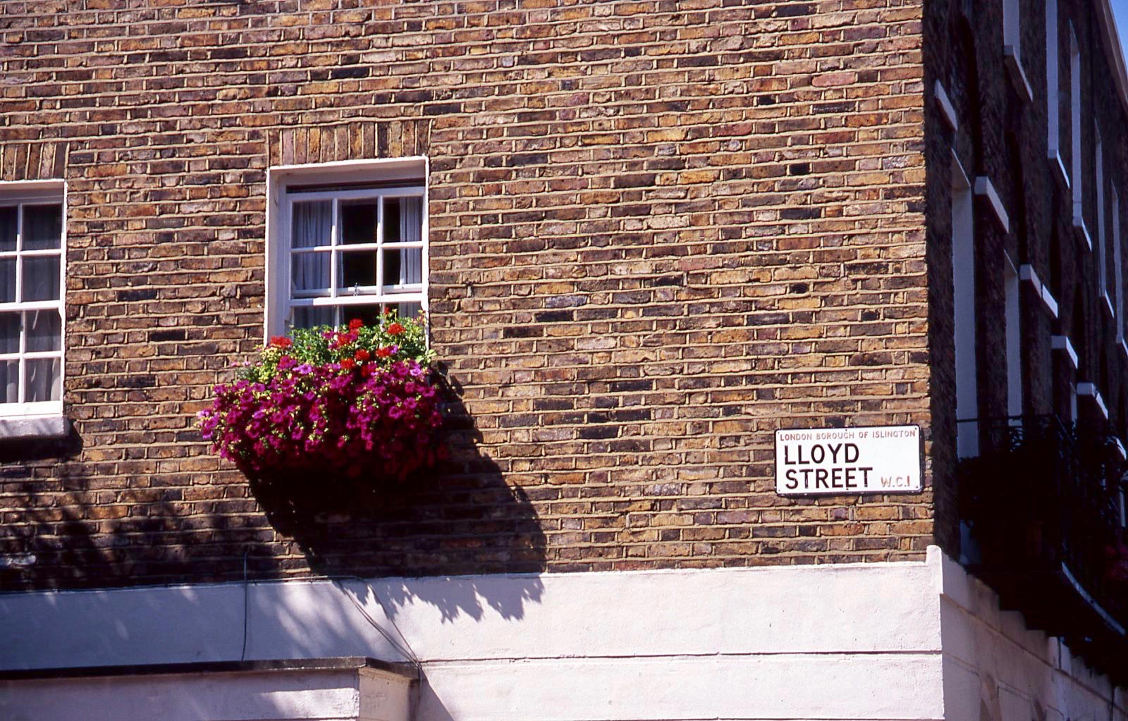
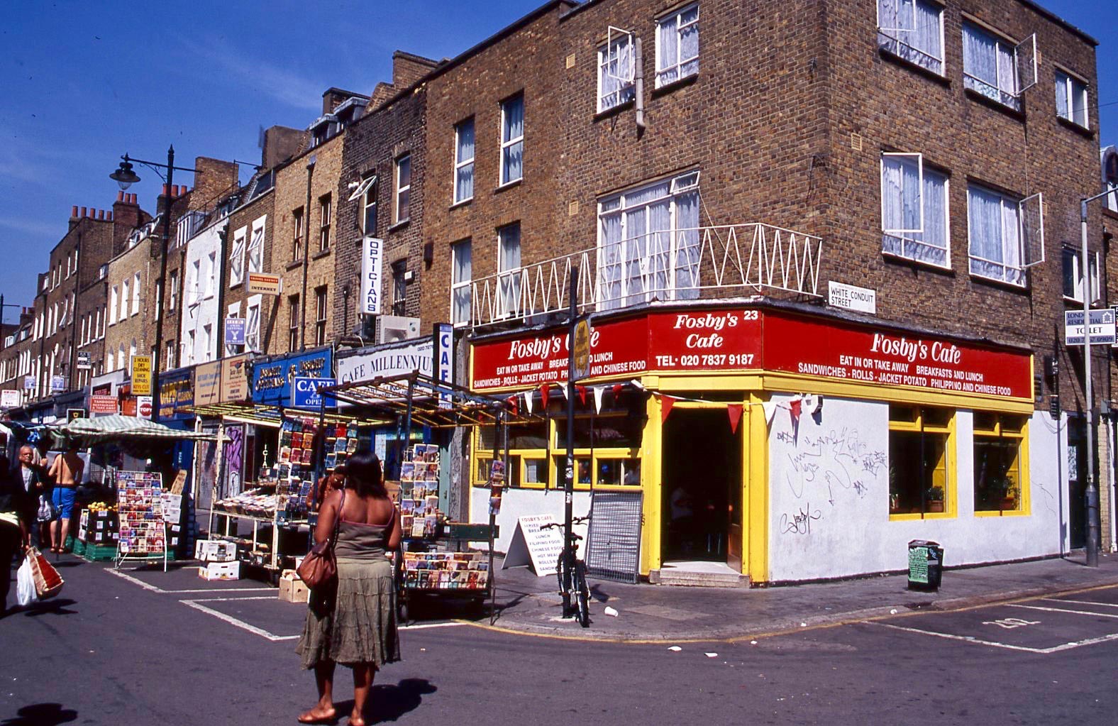
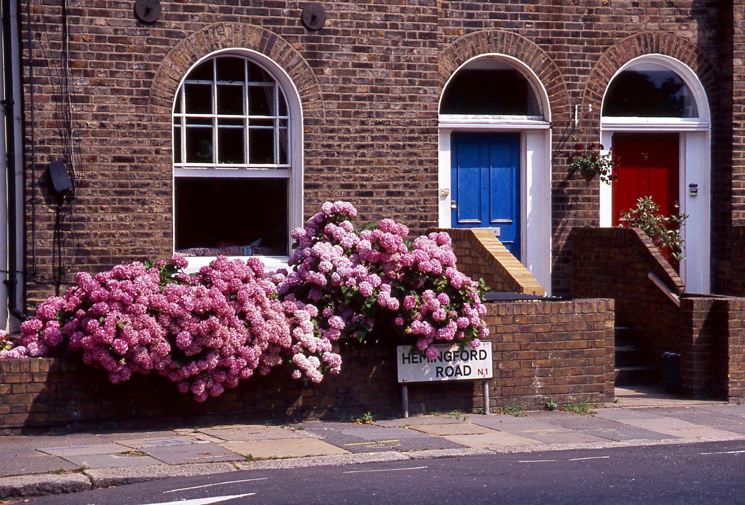
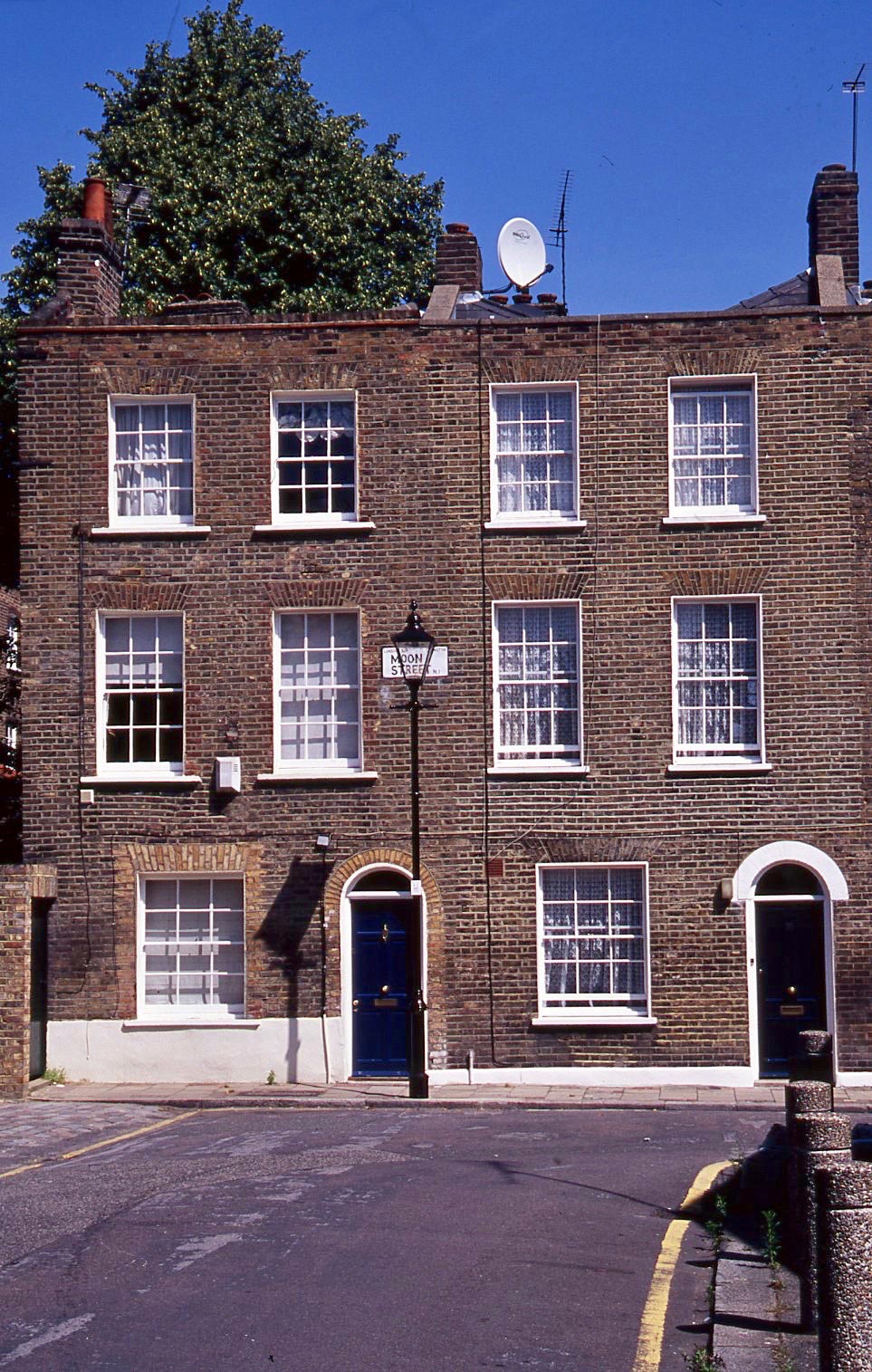
With today’s incessant steady rain pattering overhead I scanned another set of recently discovered colour slides. These form another batch for my Streets of London series – I think from May 2008.
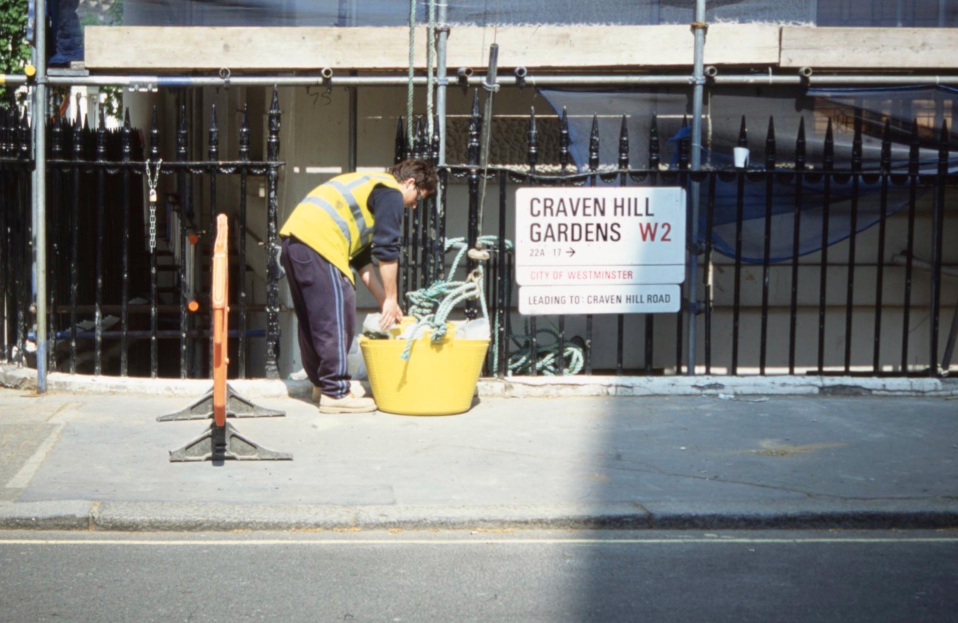
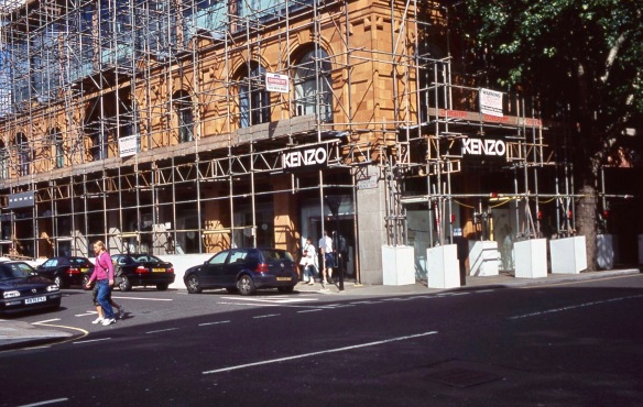
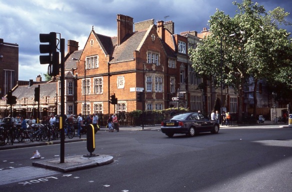
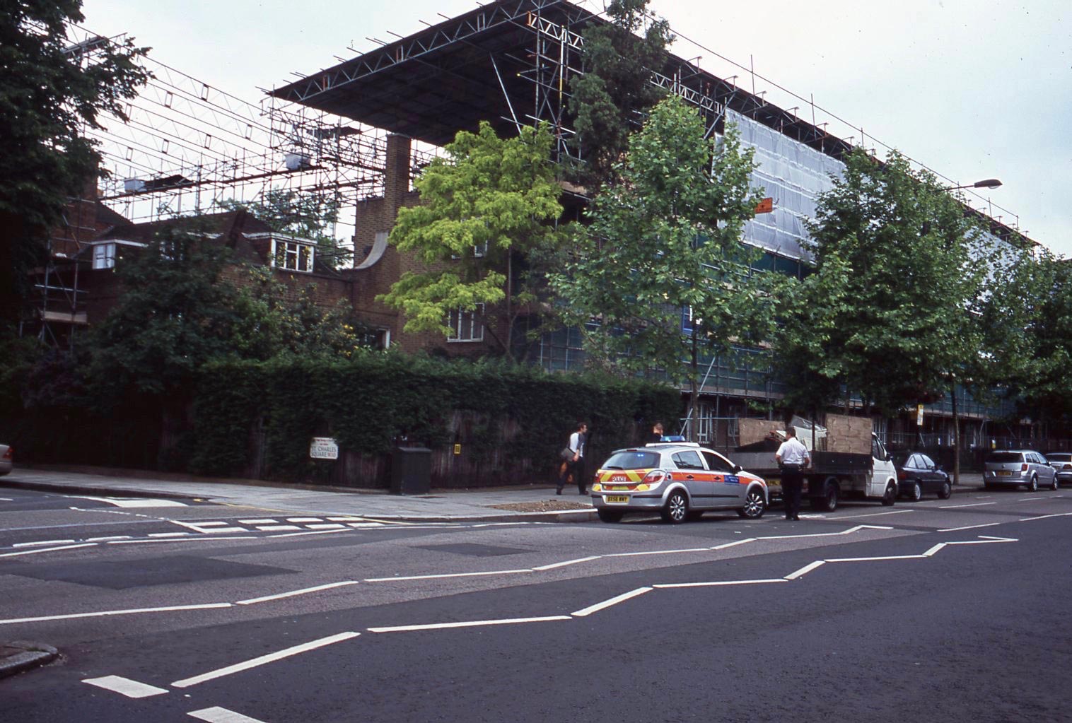
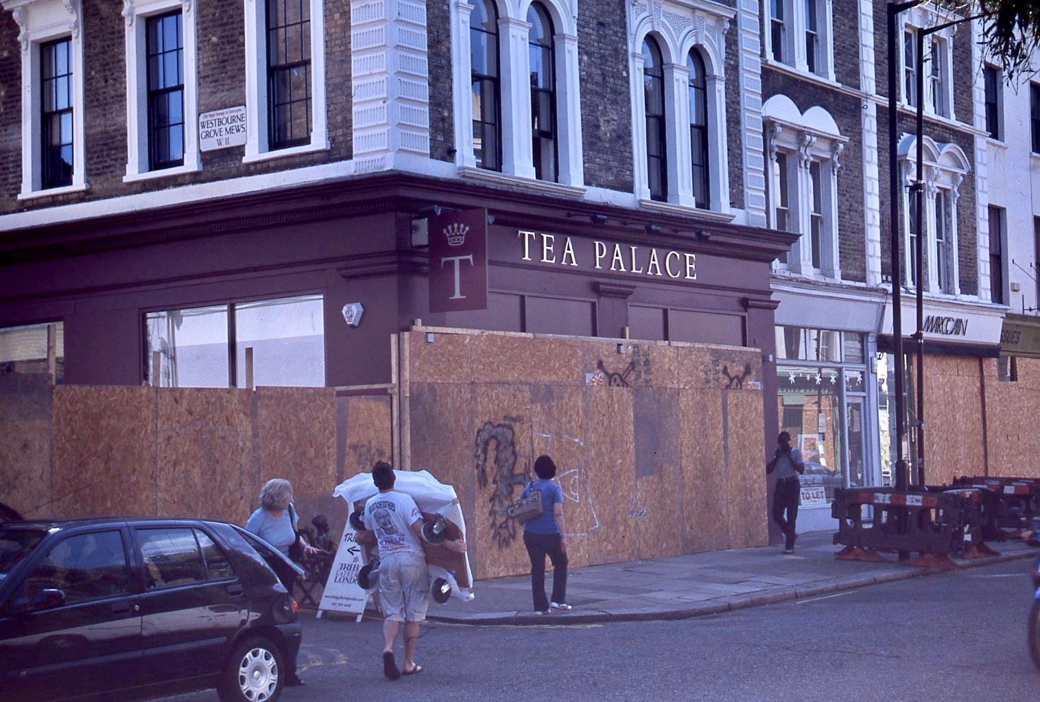
There are always building works going on somewhere in the capital. These were in Craven Hill Gardens W2, not far from my flat in Sutherland Place.

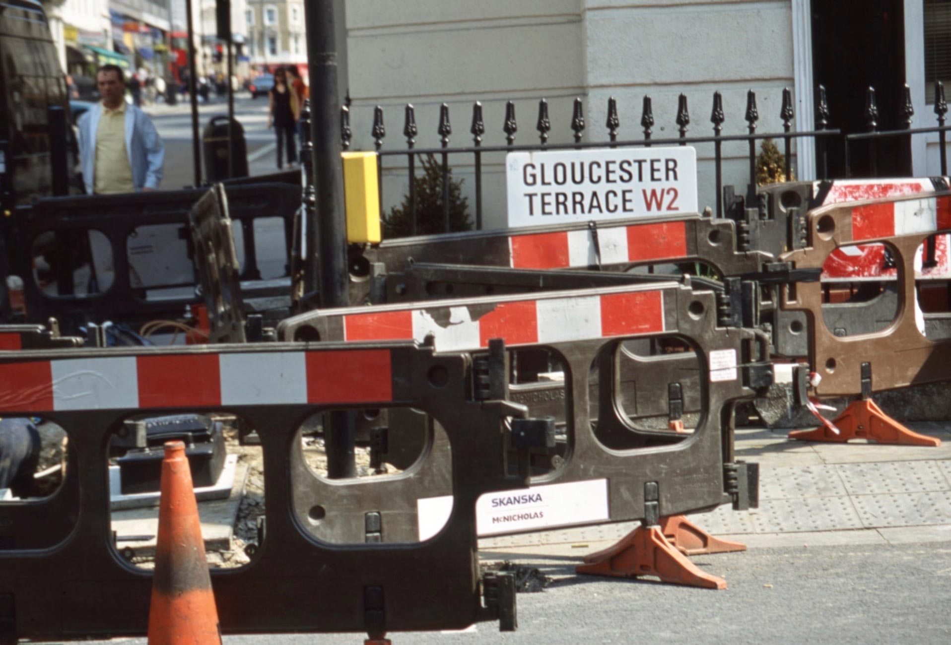
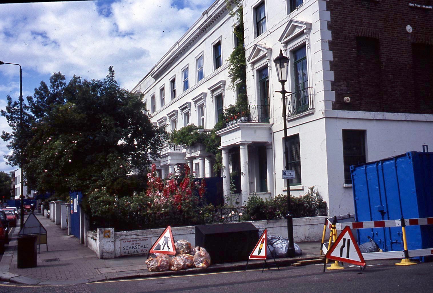
Similarly roadworks are ubiquitous, as in Gloucester Terrace.
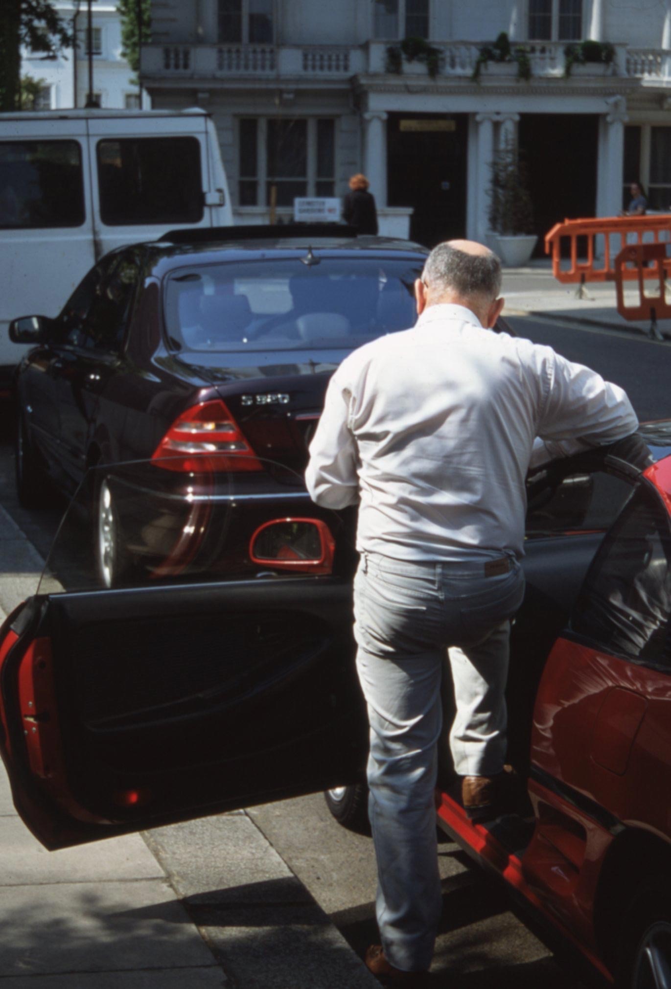
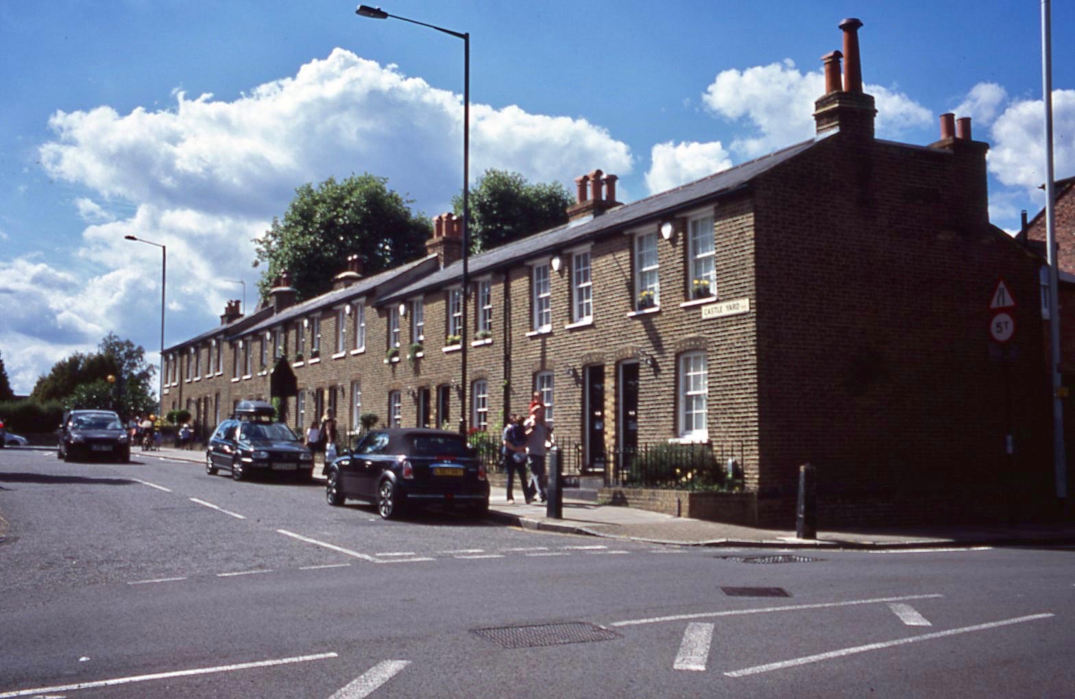
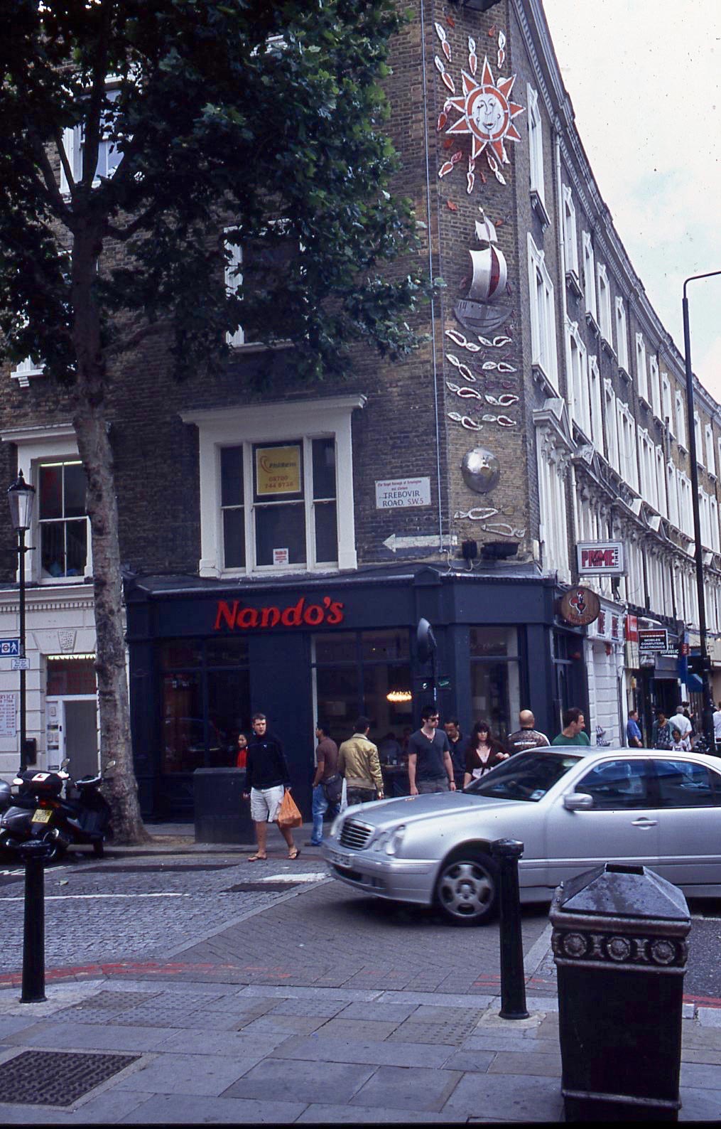
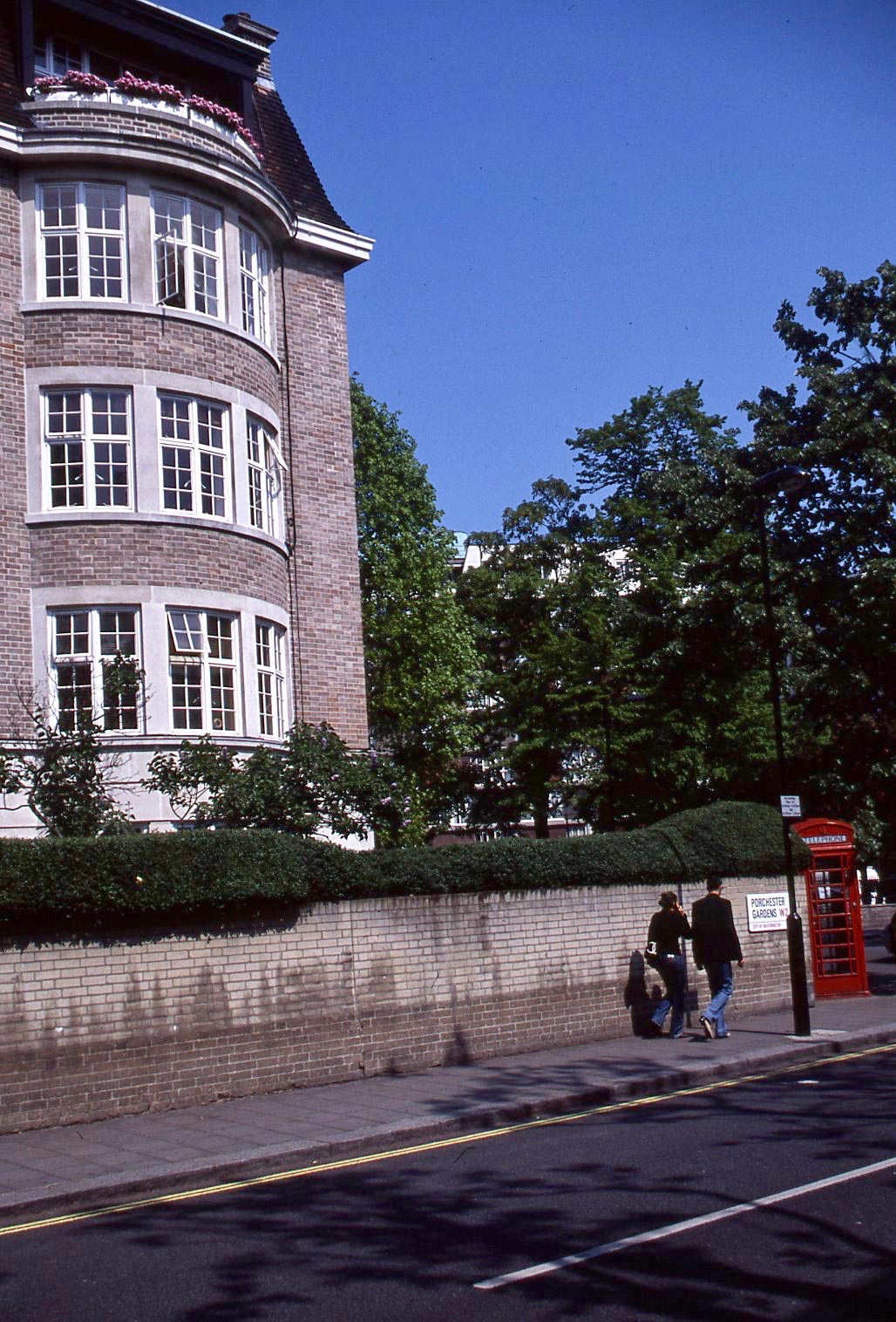
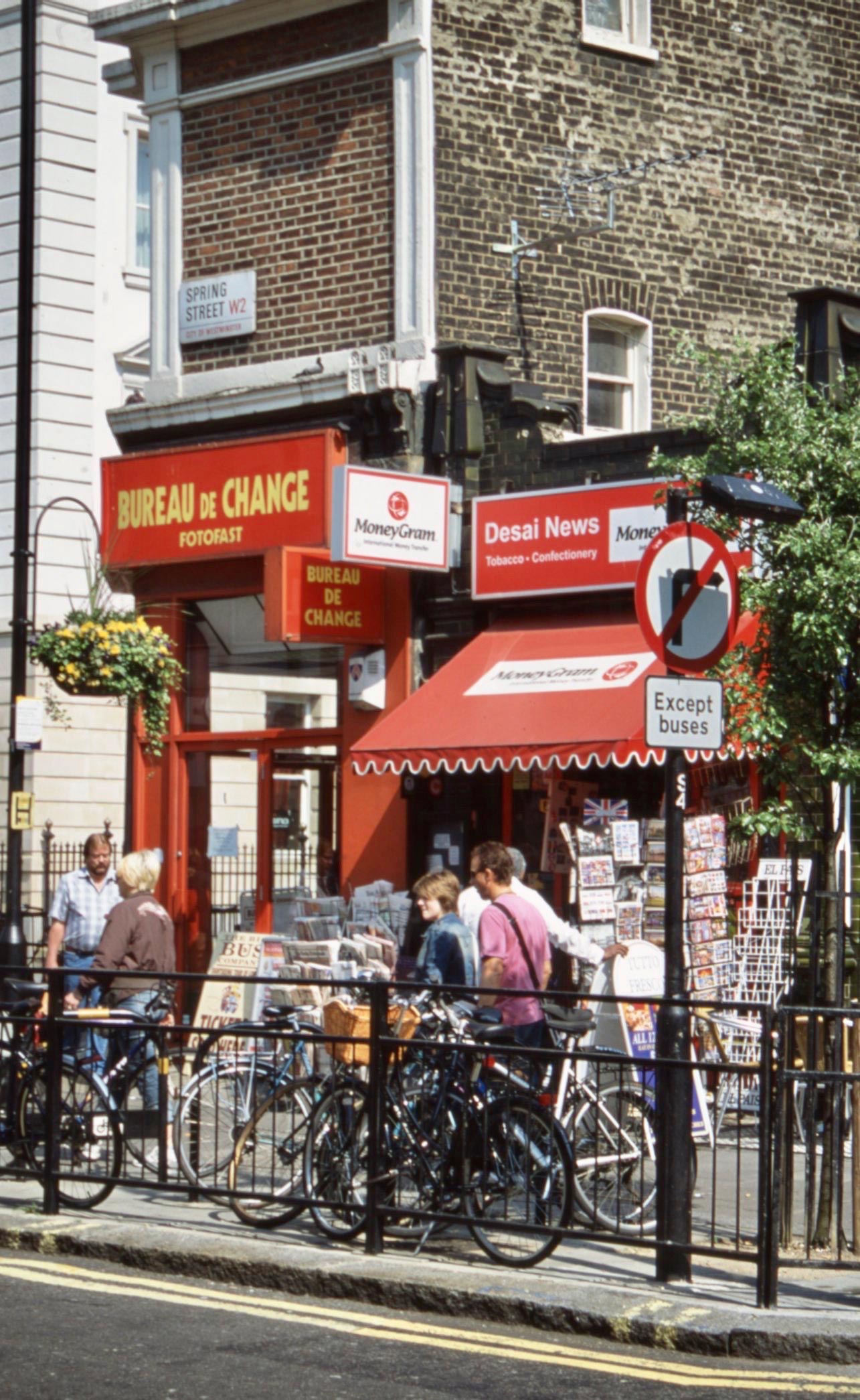
Unfortunately I cannot decipher the street name, too far back in this typical W2 scene.

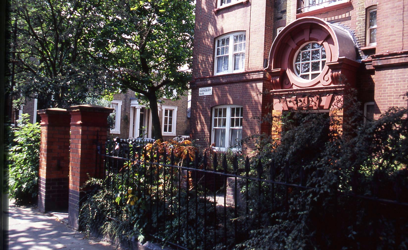
The area contains many Mews, such as Conduit,
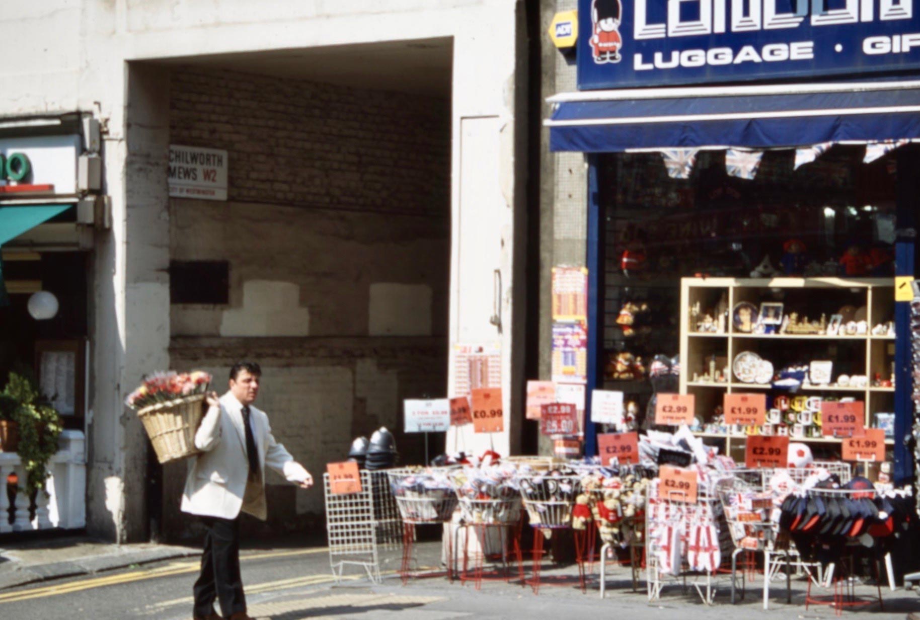
Chilworth,
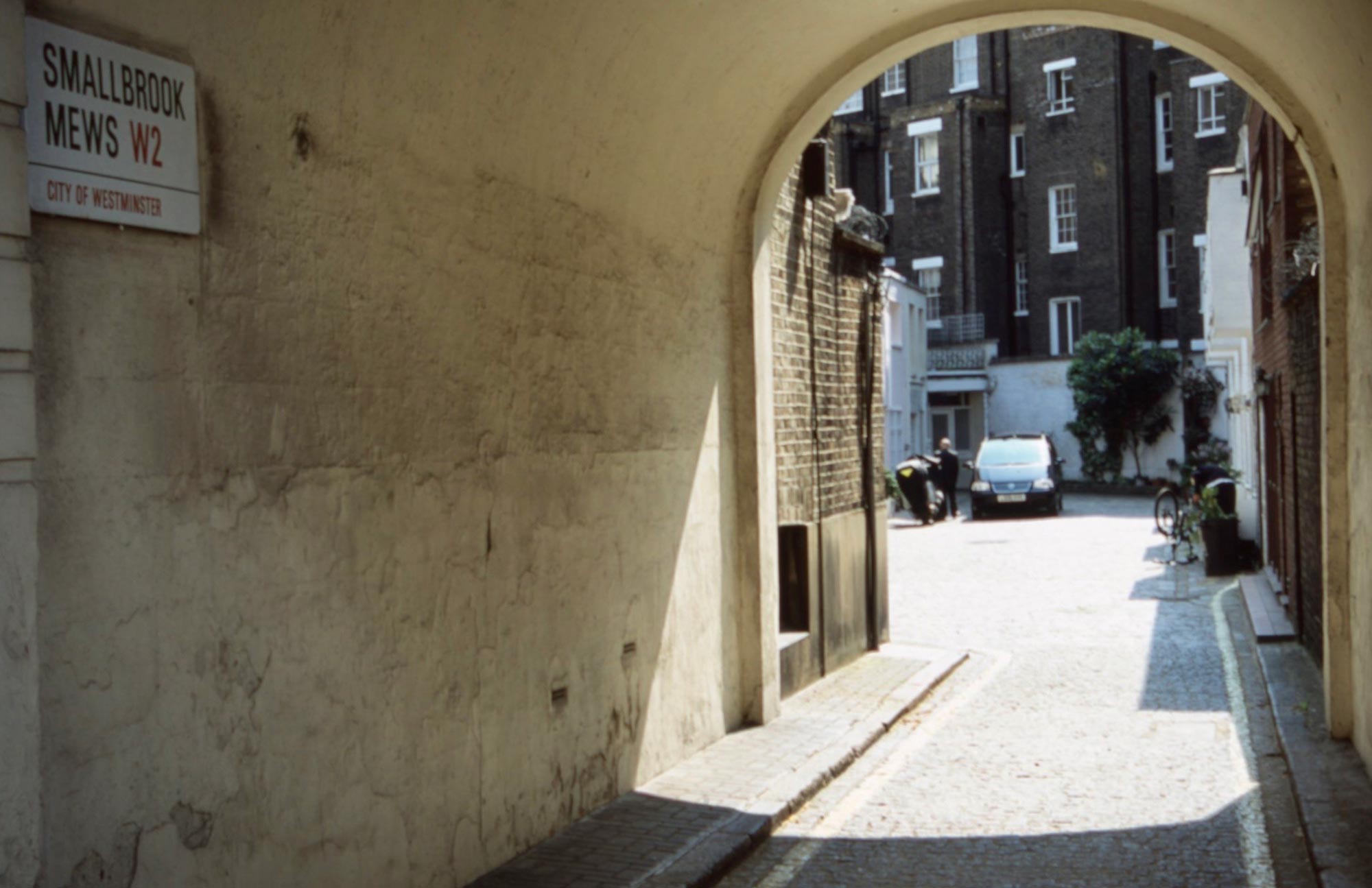
and Smallbrook.
As suggested in https://derrickjknight.com/2017/09/04/remembering-hyde-park-square/ a mews was a small yard containing stables which have, with one exception, now been converted into upmarket residences.
Right Move quotes current average prices for Conduit, £2,087,500 and Chilworth, £1,200,000.
For £3,500,000 you could splash out for a modernised four bedroomed property complete with roof terrace in Smallbrook.
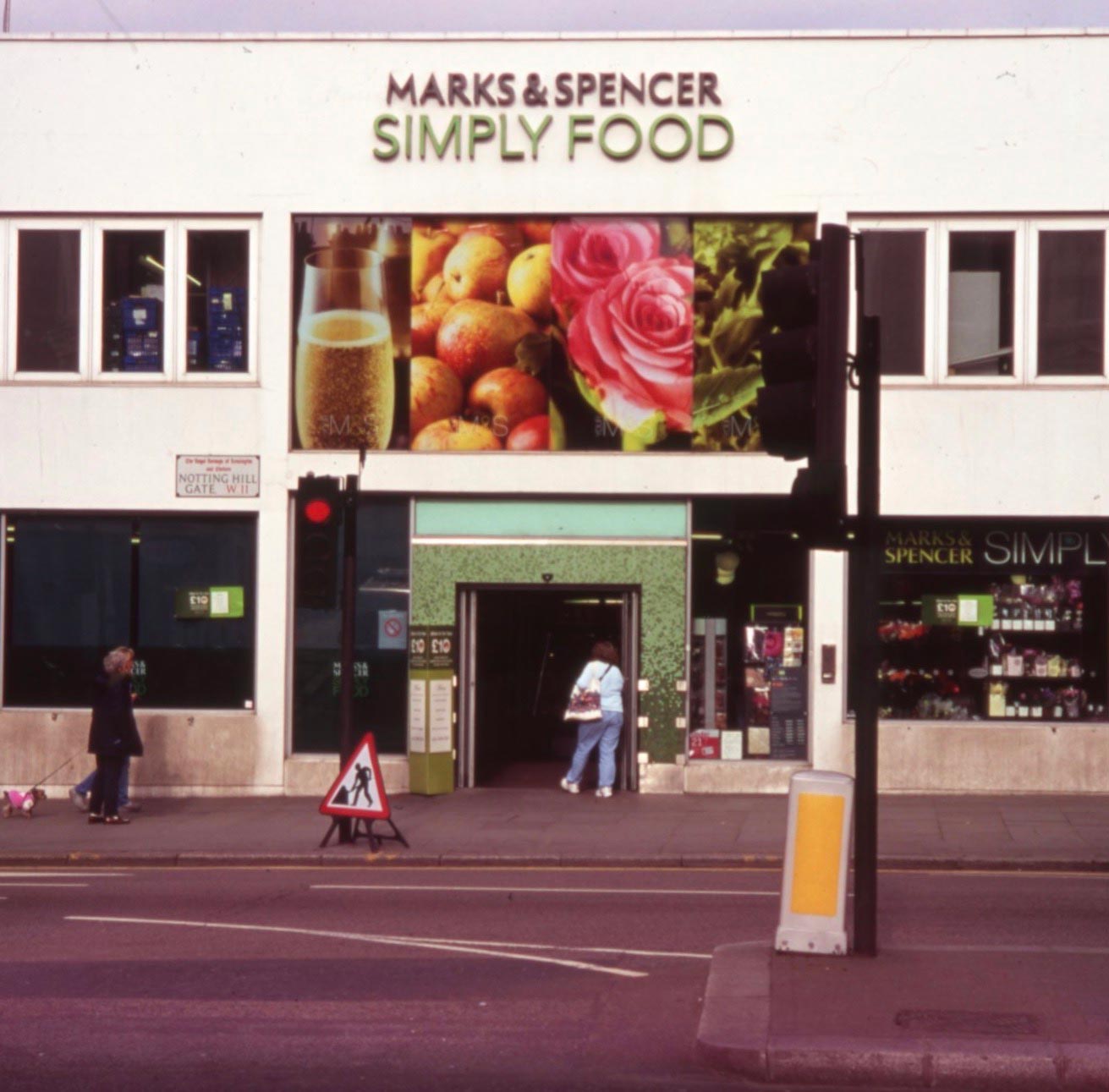
Marks & Spencer has a branch in Notting Hill Gate, W11.
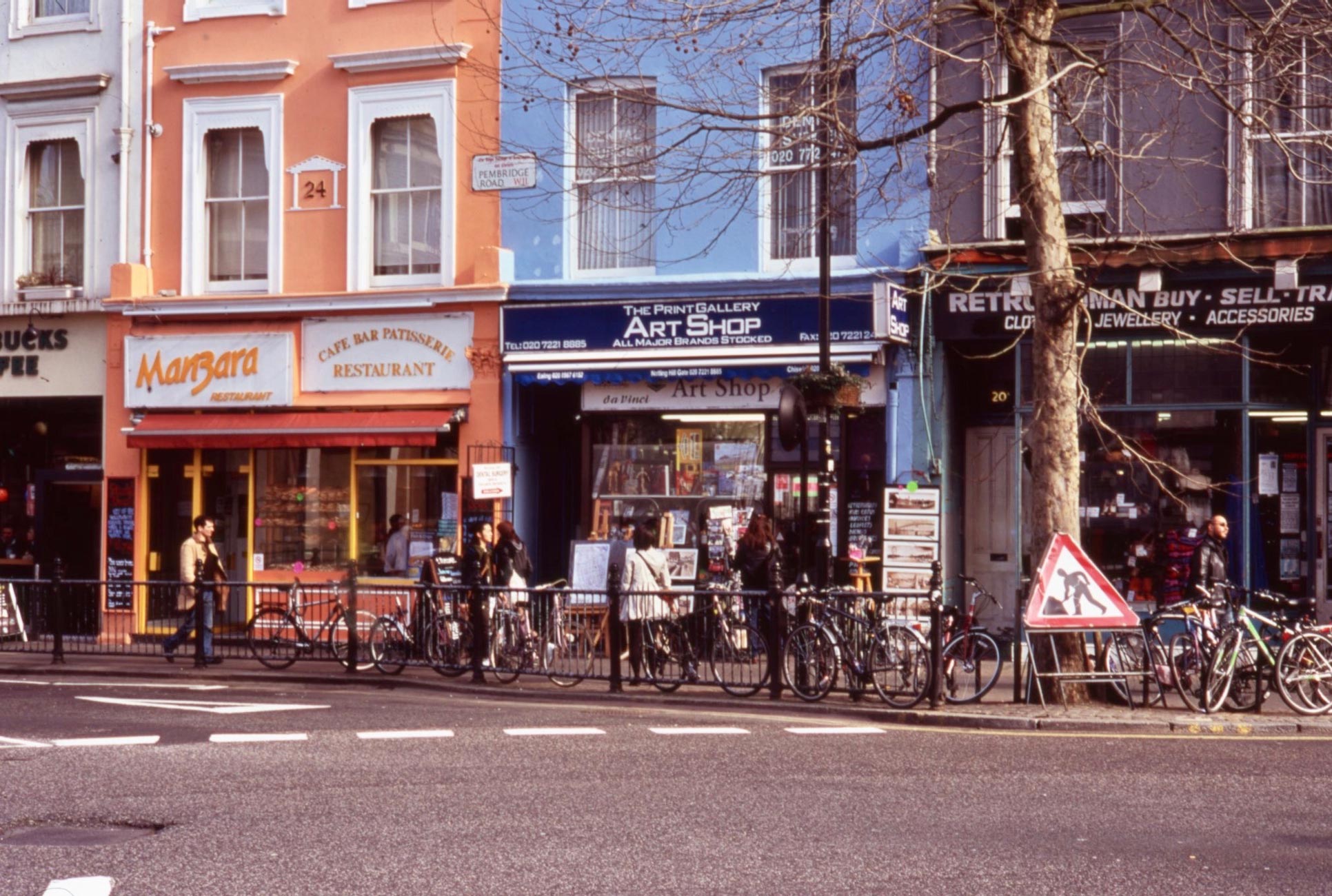
Nearby, the Art Shop in Pembridge Road was my regular supplier of materials.
‘Notting Hill, an affluent district of West London, England,[1] in the Royal Borough of Kensington and Chelsea. Notting Hill is known for being a cosmopolitan and multicultural neighbourhood, hosting the annual Notting Hill Carnival and Portobello RoadMarket.[2] From around 1870, Notting Hill had an association with artists.[3]
For much of the 20th century, the large houses were subdivided into multi-occupancy rentals. Caribbean immigrants were drawn to the area in the 1950s, partly because of the cheap rents, but were exploited by slum landlords like Peter Rachman and also became the target of white Teddy Boys in the 1958 Notting Hill race riots.
Then known for its slum housing, in the early 21st century, after decades of gentrification, Notting Hill has a reputation as an affluent and fashionable area,[4] known for attractive terraces of large Victorian townhouses and high-end shopping and restaurants (particularly around Westbourne Grove and Clarendon Cross). A Daily Telegraph article in 2004 used the phrase “the Notting Hill Set“[5] to refer to a group of emerging Conservative politicians, such as David Cameron and George Osborne, who would become respectively Prime Minister and Chancellor of the Exchequer and were once based in Notting Hill. North Kensington is also home to the Grenfell Tower, which burnt down in 2017.’ (Wikipedia)
‘A turnpike gate was constructed at the foot of the hill on the main road from London to Uxbridge, now Oxford Street, Bayswater Road and Holland Park Avenue along this part of its route. The point at which the turnpike gate stood was known as Notting Hill Gate. The gate was there to stop people passing along the road without paying. The proceeds were applied towards the maintenance of this important road. The gate was removed in the 19th century and the high road was widened and straightened in the 1960s, involving the demolition of many buildings, the linking of two separate tube stations and the construction of two tower blocks.’ (Wikipedia)
I featured the Carnival in https://derrickjknight.com/2021/01/14/notting-hill-carnival/
Spring Street W2 is in the area of Paddington known as Tyburnia, ‘a part of Paddington created to an 1824 masterplan by Samuel Pepys Cockerell to redevelop the historic lands of the Bishop of London, known as the Tyburn Estate, into a residential area to rival Belgravia.’ (Wikipedia).
Here is an extract from https://www.british-history.ac.uk/vch/middx/vol9/pp190-198#p1
‘Tyburnia
Tyburnia was a name used in the early 19th century for the south-eastern corner of the parish, the first part of the Paddington Estate to be built up. (fn. 1) It was adopted presumably because ‘Tyburn’ was already well known, as a reference to the gallows at Tyburn tree. (fn. 2) The old name of the execution site was itself misplaced since the Tyburn, teo or ‘boundary’ stream, (fn. 3) ran much farther east, from Hampstead across Marylebone to Oxford Street. The Marylebone manor of Lisson lay west of the stream, along Edgware Road, and that of Tyburn to the east. (fn. 4)Paddington’s Tyburnia, in the angle between Edgware and Bayswater roads, stretched westward from the former gallows to merge with Bayswater. In the 1870s the name was confined to a fashionable area, bounded on the west by Westbourne and Gloucester terraces, north of Lancaster Gate. (fn. 5) The area described below extends westward only to Eastbourne Terrace and the southern end of Westbourne Terrace (fn. 6) but northward to the industrial belt beyond Praed Street, as far as the canal basin. It covers Hyde Park ward and a southerly part of Church ward, as created in 1901, and also includes St. George’s burial ground. (fn. 7)
The execution site (fn. 8) was chosen presumably because there was a prominent group of trees at the parting of two main roads out of London. Some medieval references to ‘the elms’ may have been to those at Smithfield, but it was at Tyburn that William FitzOsbert was hanged in 1196 and at the elms there that Roger Mortimer, earl of March, died in 1330. From the 14th century many political executions took place at Tyburn, where the trees probably made way for temporary gallows before a permanent triangular frame was set up in 1571. The frame was depicted by Hogarth, (fn. 9) in whose day it was known as Tyburn tree and served as London’s chief place of public execution, where 21 victims could be hanged simultaneously. Often there were triumphant processions and huge crowds, an estimated 200,000 attending the death of Jack Sheppard in 1724. A grandstand on the west side of Edgware Road was sometimes used, (fn. 10) before and after the triangular frame was replaced by a movable gallows in 1759, until criticism led to the choice of a new site outside Newgate gaol in 1783.
The triangular gallows stood in the centre of the wide southern extremity of Edgware Road until the building of the Uxbridge road tollhouse in 1759. The approximate site has been marked by successive plaques: against the railings of Hyde Park, in 1909 in Edgware Road, and in 1964, after road widening, on a traffic island at the junction with Bayswater Road. The position of the later movable gallows was c. 50 yards farther north in Edgware Road and was thought in the 1870s to have been that of a house at the south-east corner of Connaught Square (formerly no. 49), (fn. 11) although several sites close by have been suggested.
Burials of corpses from Tyburn were recorded from 1689 and brought profit to the minister and churchwardens of Paddington in the late 17th and the 18th century, (fn. 12) when execution days came to be known as ‘Paddington fair’. (fn. 13) Remains were also buried under the scaffold and unearthed when the area came to be built up. Among them were the presumed bones of Oliver Cromwell and fellow regicides, whose posthumous consignment to a pit at the gallows’ foot in 1661 probably gave rise to William Blake’s allusion to ‘mournful ever-weeping Paddington’. (fn. 14)‘

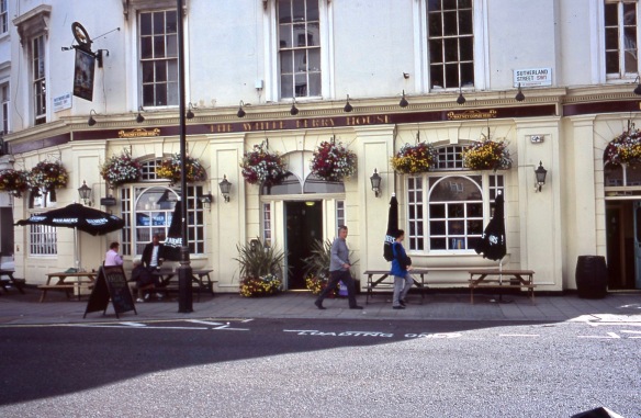
The Craven Hill Gardens W2 sign hangs on the railings of one of the two communal residential gardens typical of Victorian Bayswater estates.

The green hut in the centre of Kensington Park Road opposite Ladbroke Road W11 is explained in https://derrickjknight.com/2018/01/15/up-west/ which features another Cabmen’s Shelter.
Jackie received her vaccination invitation this afternoon and was able to make an appointment for 5th February.
This evening we dined on succulent roast pork; sage and onion stuffing; crisp potatoes, including the sweet variety, and well frosted parsnips, roasted in jalfrezi-flavoured oil; crunchy carrots and cauliflower; tender runner beans, and tasty gravy, with which Jackie drank Hoegaarden and I finished the Comté Tolosan Rouge.