This afternoon we drove to the north of the forest.
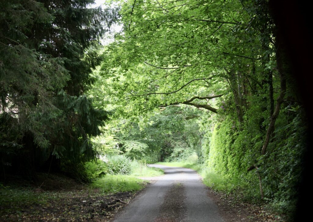
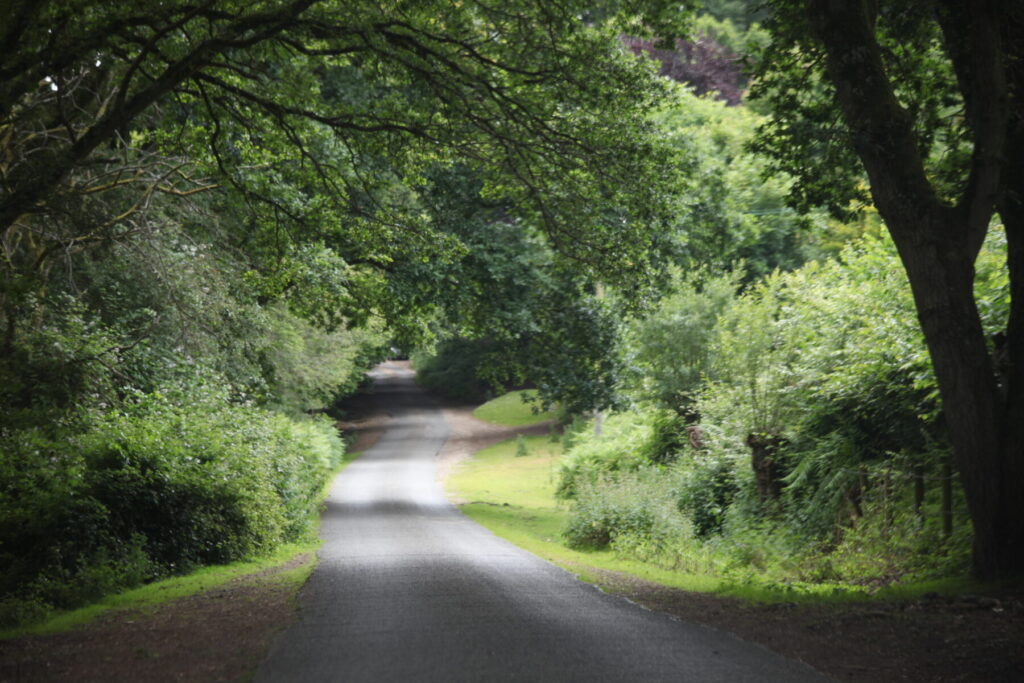
Anna Lane is just one of the lanes we negotiate on our trips, so narrow that traffic spans the centre leaving it free of wheels and therefore grass-covered soil untouched in the middle. When you meet an oncoming vehicle one has to end up on the verge.
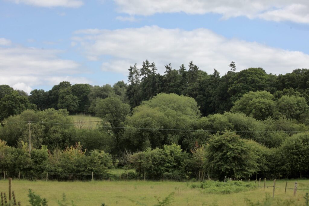
From the road up to Gorley Common we looked down on
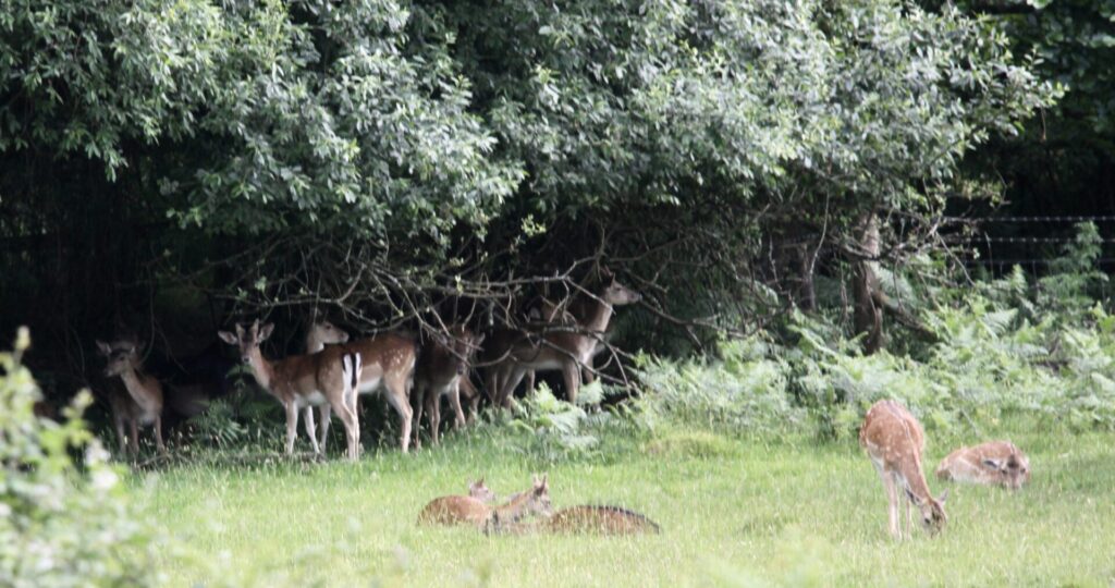
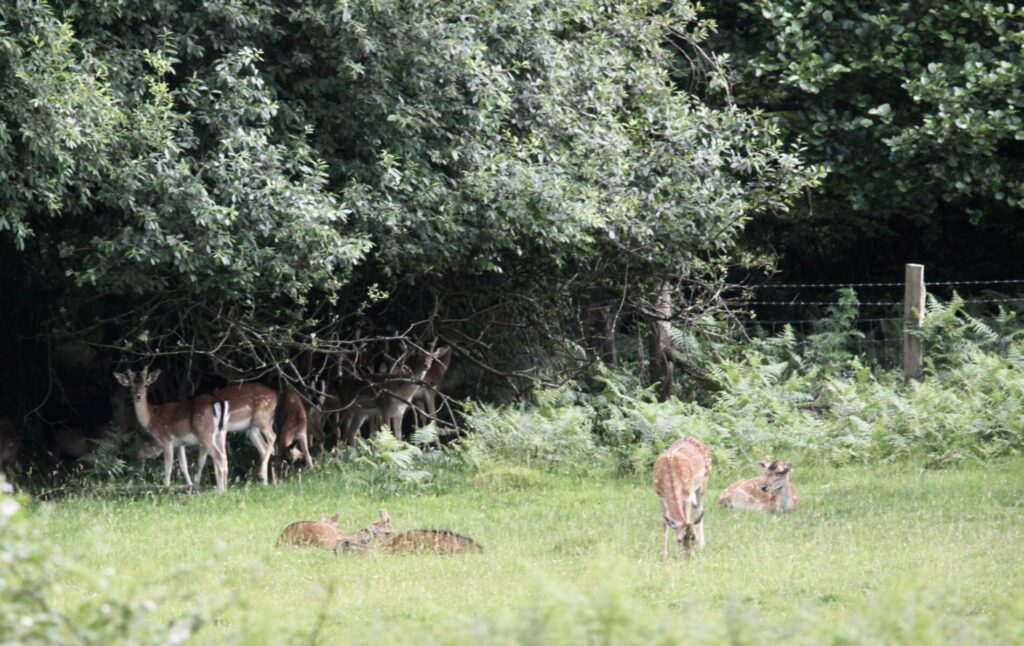
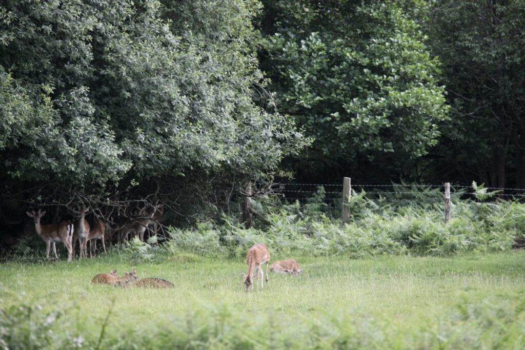
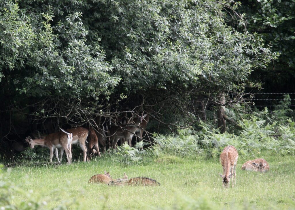
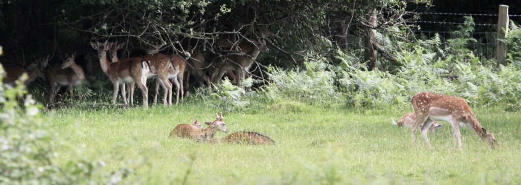
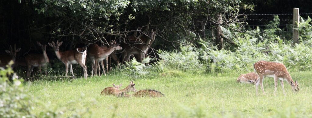
deer which today didn’t sniff a scent of us;
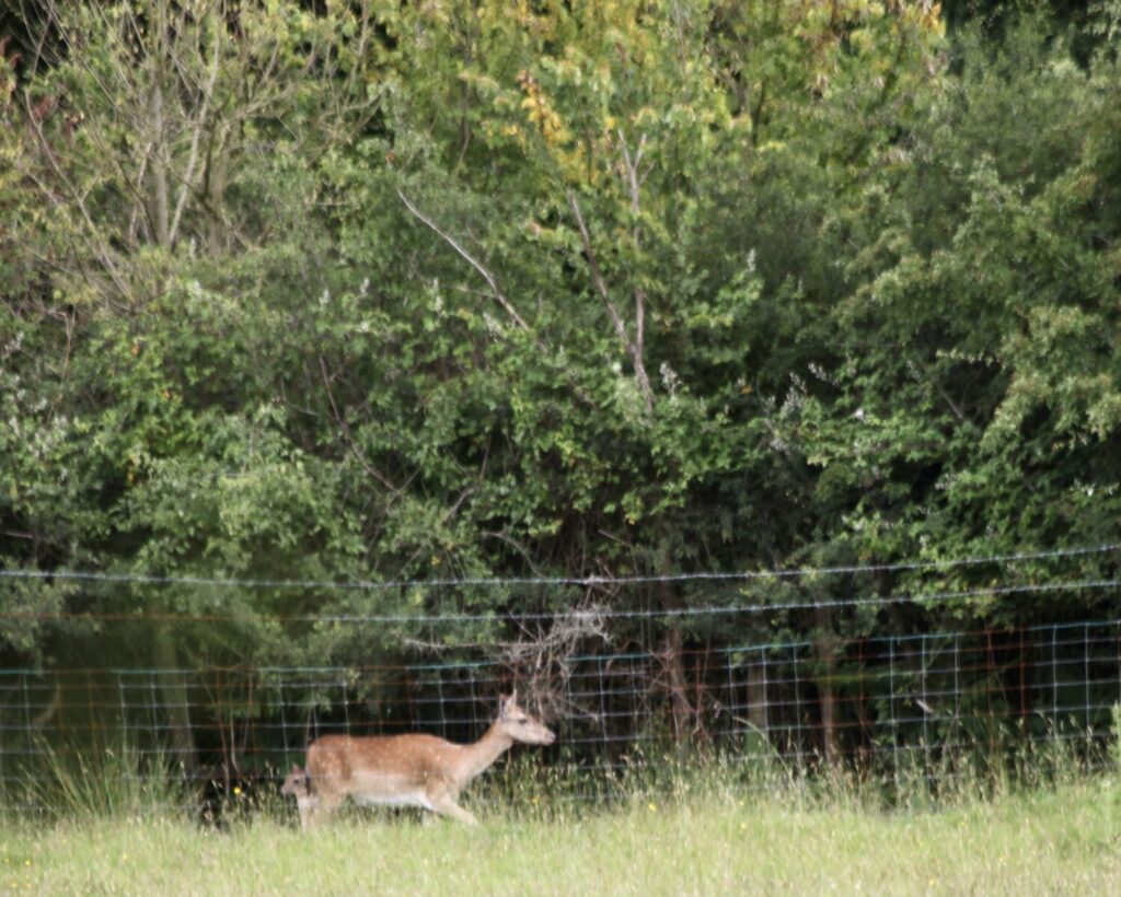
can you spot this baby hiding behind its mother?

The Common, with its distant view is all that remains of
“Gorley Hill … the site of a former Iron Age promontory hillfort located in Hampshire in the United Kingdom.
The fort once occupied the southwestern corner of Gorley Common on Gorley Hill, a gravel-capped spur that points southwest into the Avon valley next to the hamlet of North Gorley, between the towns of Fordingbridge and Ringwood. The earthworks were destroyed in the 1950s and ’60s when the common’s new owners carried out large-scale gravel extraction works, effectively “scalping” the hill. The tall linear earthen banks present on the hill are a relic of the quarrying process and not prehistoric in origin.[1]The site is now grass, with some gorse and silver birch. The area is now owned and managed by Hampshire County Council.
Heywood Sumner carried out some excavation at the site which was published in his 1917 book Ancient Earthworks of the New Forest.[2]“
This evening we dined on Jackie’s authentic chicken jalfrezi and mushroom rice, with which I finished the Alentejano.